Đang tải… / Loading…
Đang tải… / Loading…
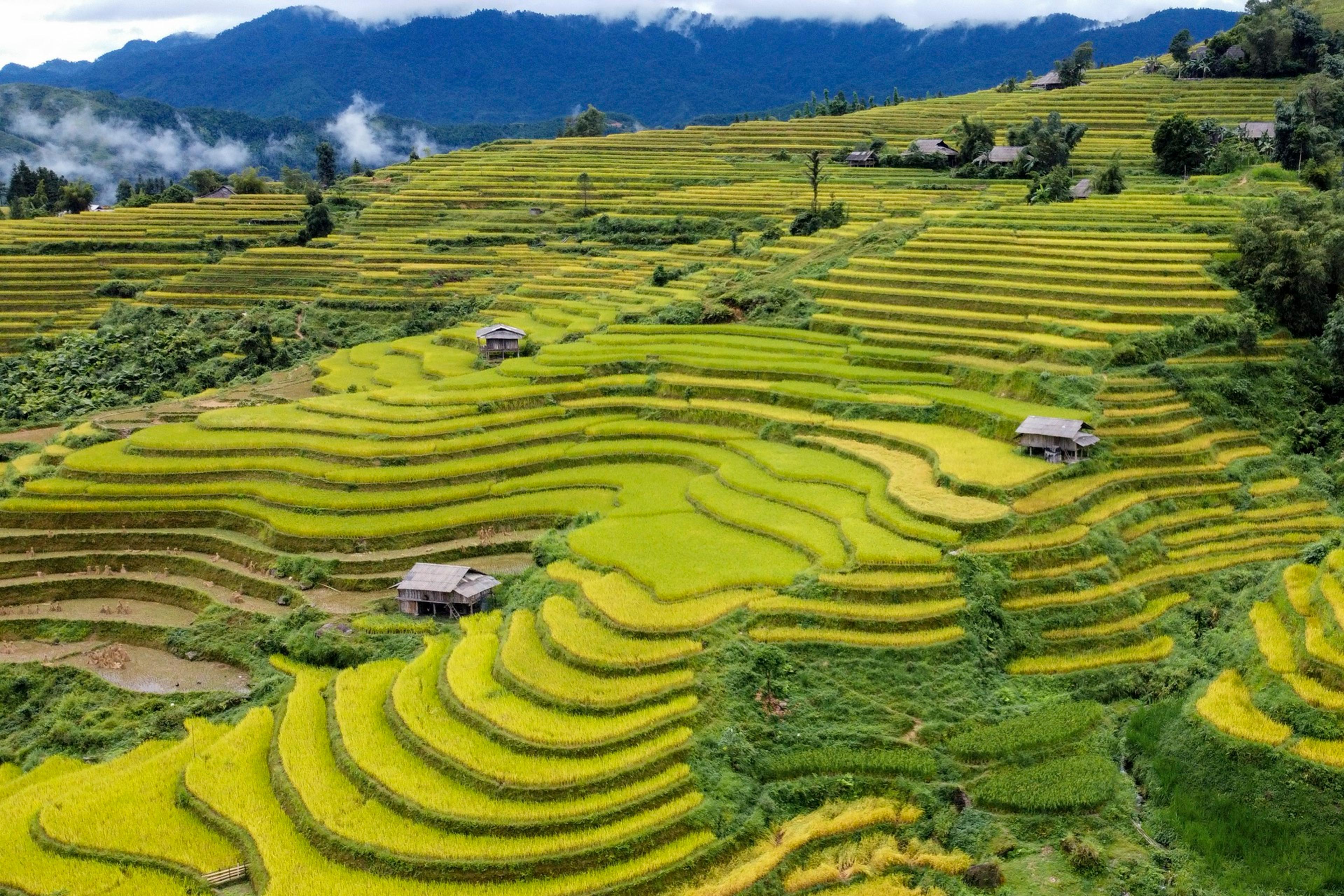
层层梯田沿山坡盘绕,稻熟时节染成金黄,位于联合国教科文组织同文岩溶高原世界地质公园内。同一行程还可前往徒山峡谷与儒桂河。
Ha Giang sits on the northern frontier and is the longest of the four domestic legs: the flight is only the first part, with road time after it. In exchange you get a landscape unlike anything else on this list — a karst plateau.
Terraced fields step down the hillsides around the hamlets, wooden houses set among them. The rice ripens around September and October, when whole slopes turn gold; that is the season photography groups come for.
The same leg reaches Tu San, held to be Southeast Asia’s deepest canyon and seen best from the Ma Pi Leng pass. At the bottom, boats run the jade-green Nho Que between sheer walls of rock. All of it lies inside the UNESCO Dong Van Karst Plateau Global Geopark.
The leg needs three days at minimum and suits independent travellers or small groups rather than a large delegation.