
Đang tải… / Loading…
Đang tải… / Loading…
Рисовые террасы опоясывают склоны и золотеют к жатве — всё это в геопарке ЮНЕСКО «Каменное плато Донгван». В ту же поездку укладываются каньон Тушан и река Нёкуэ.
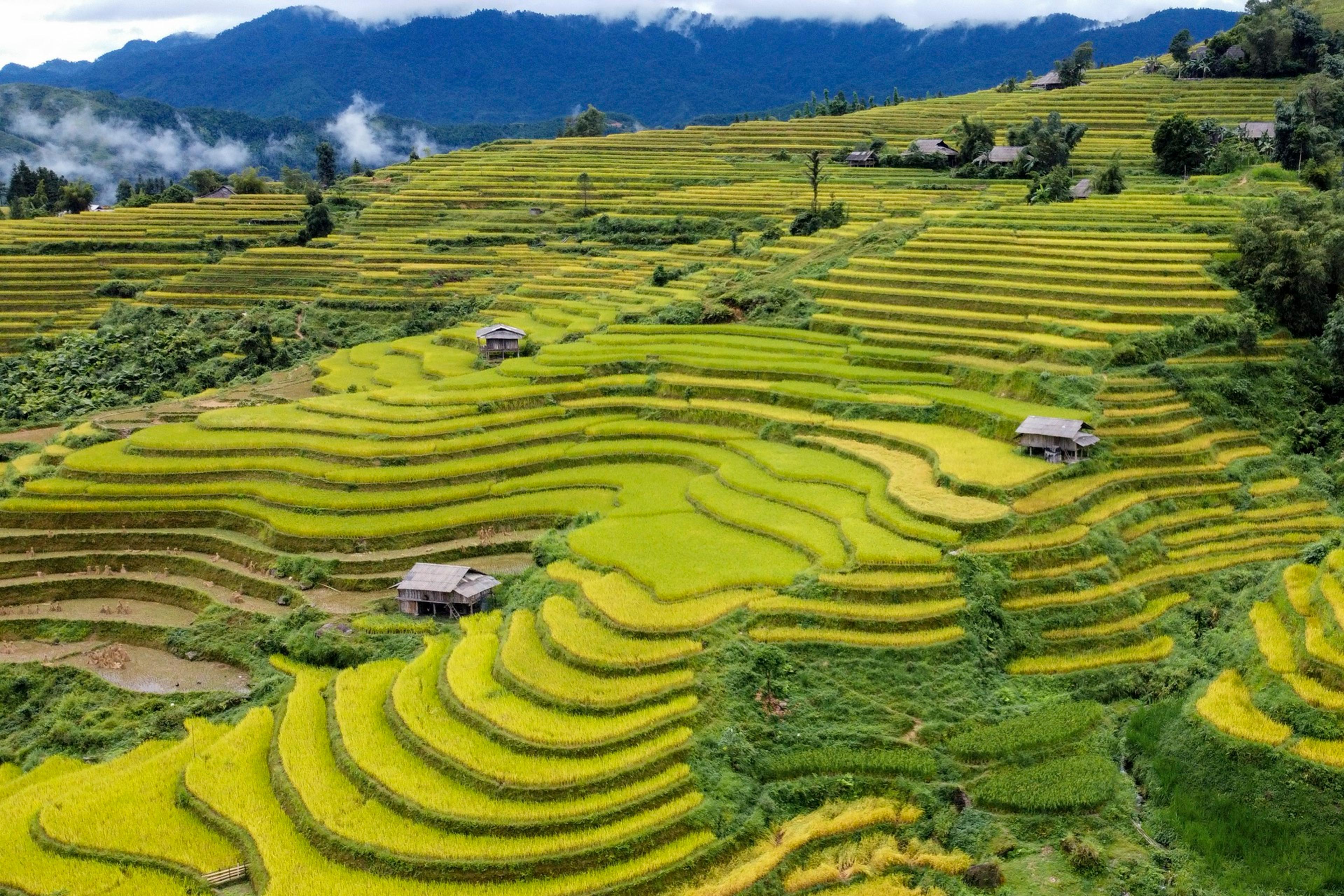
Ha Giang sits on the northern frontier and is the longest of the four domestic legs: the flight is only the first part, with road time after it. In exchange you get a landscape unlike anything else on this list — a karst plateau.
Terraced fields step down the hillsides around the hamlets, wooden houses set among them. The rice ripens around September and October, when whole slopes turn gold; that is the season photography groups come for.
The same leg reaches Tu San, held to be Southeast Asia’s deepest canyon and seen best from the Ma Pi Leng pass. At the bottom, boats run the jade-green Nho Que between sheer walls of rock. All of it lies inside the UNESCO Dong Van Karst Plateau Global Geopark.
The leg needs three days at minimum and suits independent travellers or small groups rather than a large delegation.
Форум пройдёт 16–19 октября 2026 года в конференц-центре Ariyana. Большинство зарубежных гостей добавляют два-три дня до или после четырёх дней переговоров.
Регистрация посетителя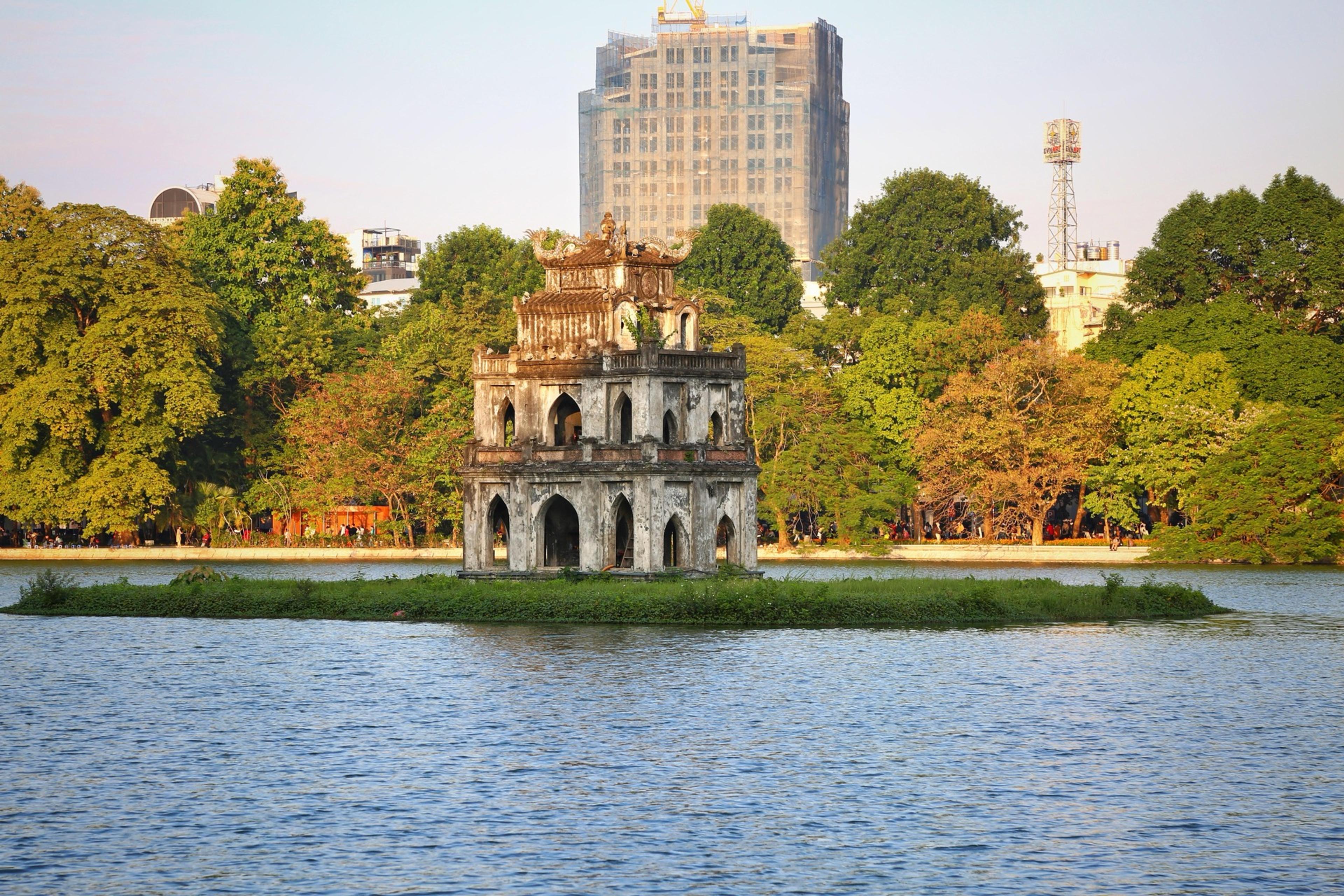
Тысячелетняя столица: Черепашья башня посреди озера, пешеходный Старый квартал по выходным, Храм литературы и музеи в паре минут ходьбы.
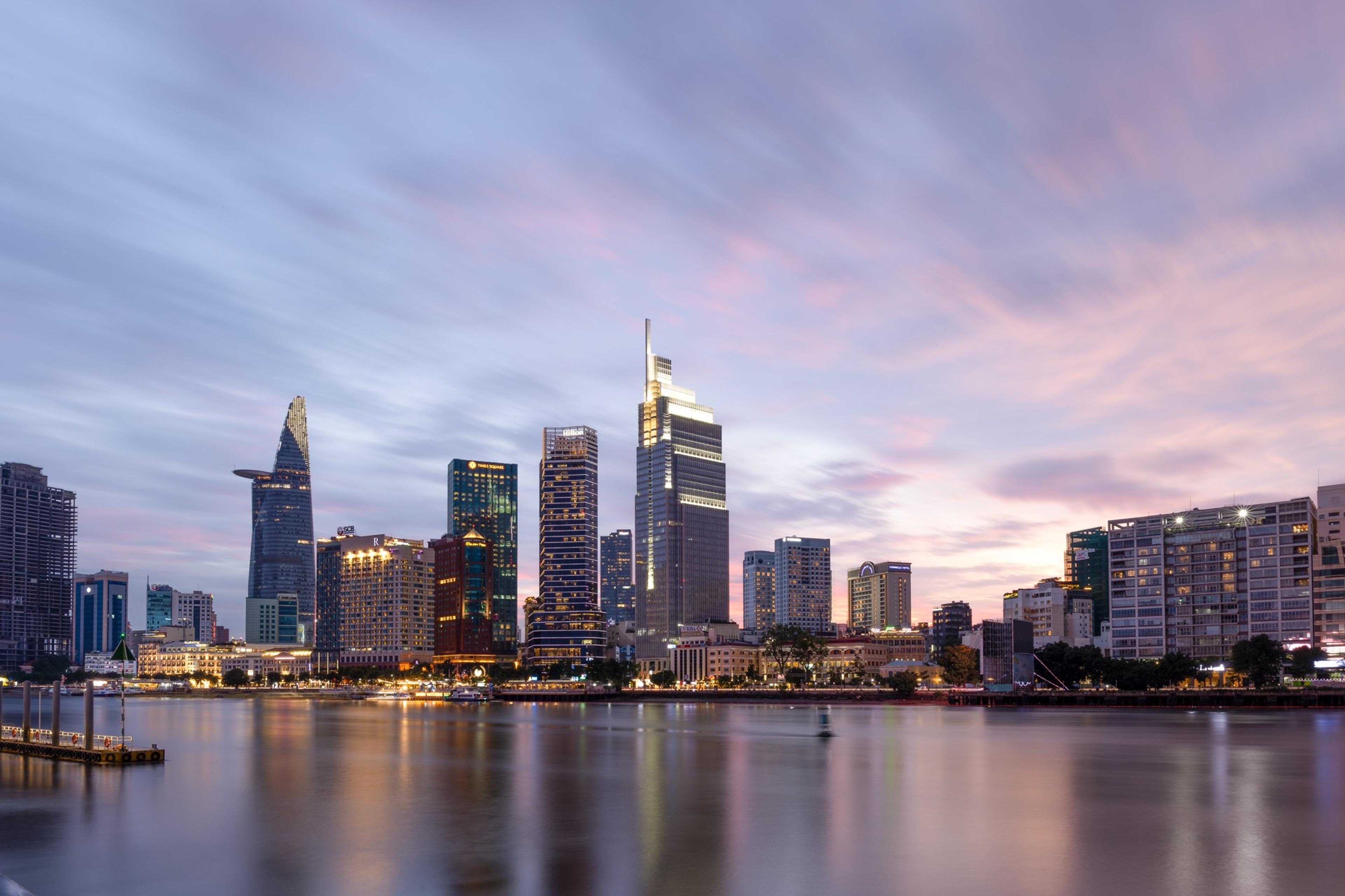
Крупнейший деловой центр страны. Landmark 81 в отражении реки Сайгон, пешеходная Нгуен-Хюэ, рынок Бентхань и уличная еда всю ночь.
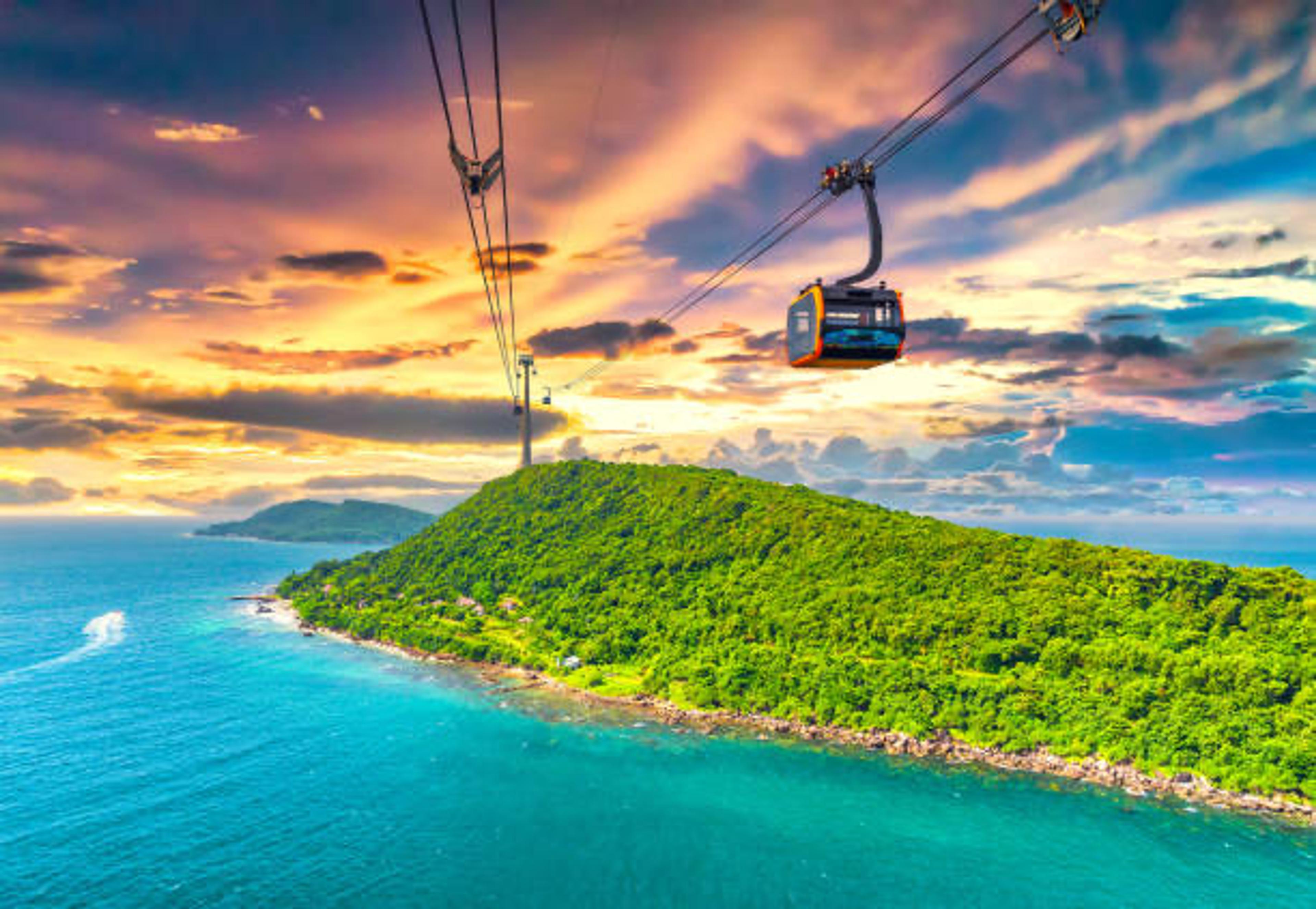
Самая длинная в мире морская канатная дорога с главного острова на Хонтхом, снорклинг у архипелага Антхой и белый песок пляжа Сао.